A visual journey through eleven landscapes of Nosy Be, from Hell-Ville to the islands of the channel. Scroll to explore the Creole town, the Lokobe forest, the western beaches and Iranja sandbar.
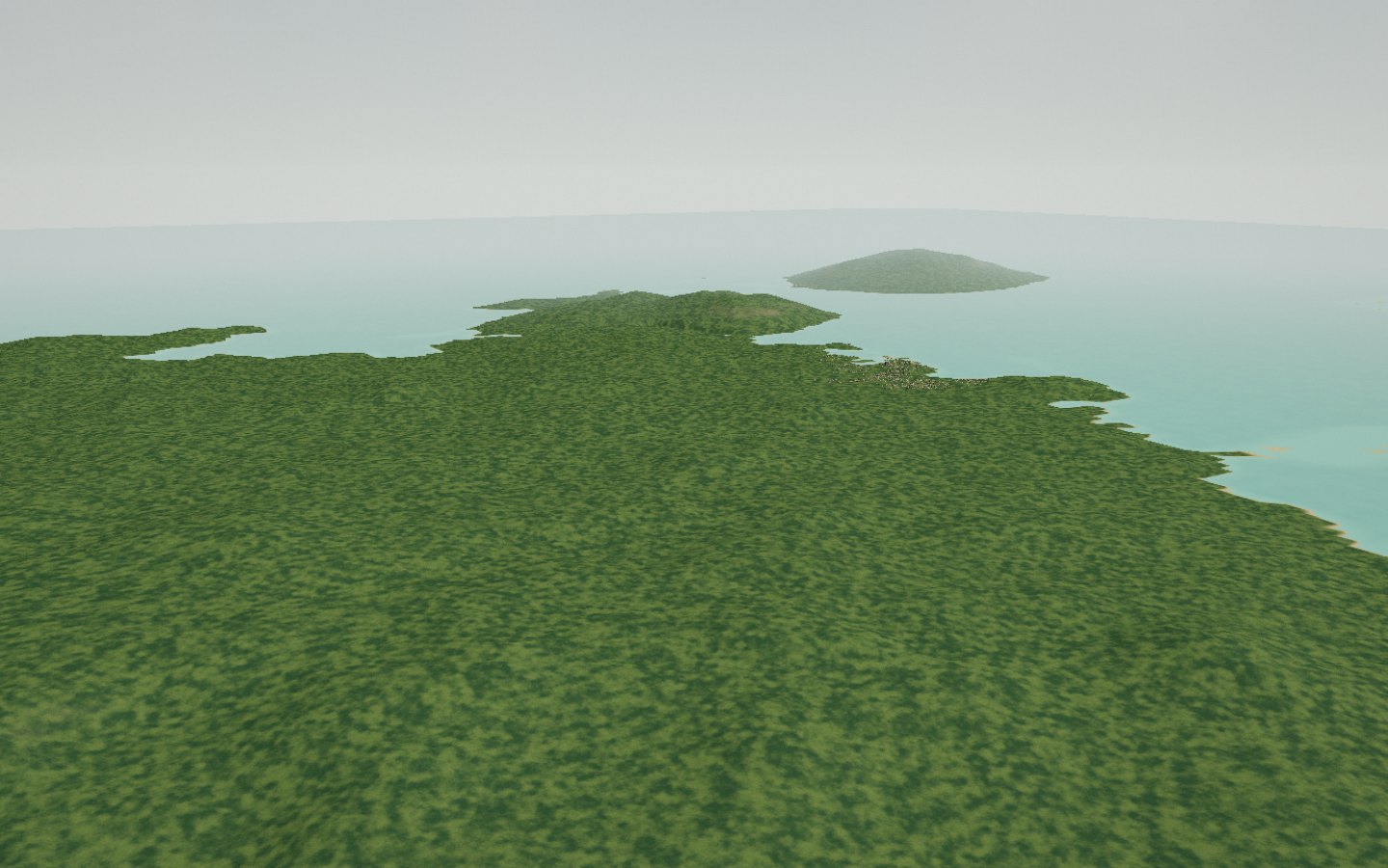
Eight kilometres off the mainland, Nosy Be — “the big island” in Malagasy — raises an extinct volcano in the middle of the Mozambique Channel. Its southern bay shelters Hell-Ville, the Creole capital, and its slopes carry the largest ylang-ylang grove in the world. Mont Lokobe, covered in primary forest, rises 450 metres above the pirogues. It is from this scent of flowers picked at dawn, distilled since the 1910s, that the island takes its nickname: Nosy Manitra, the scented island.
The best season runs from May to November, in the heart of the dry season; humpback whales cruise by from July to November.
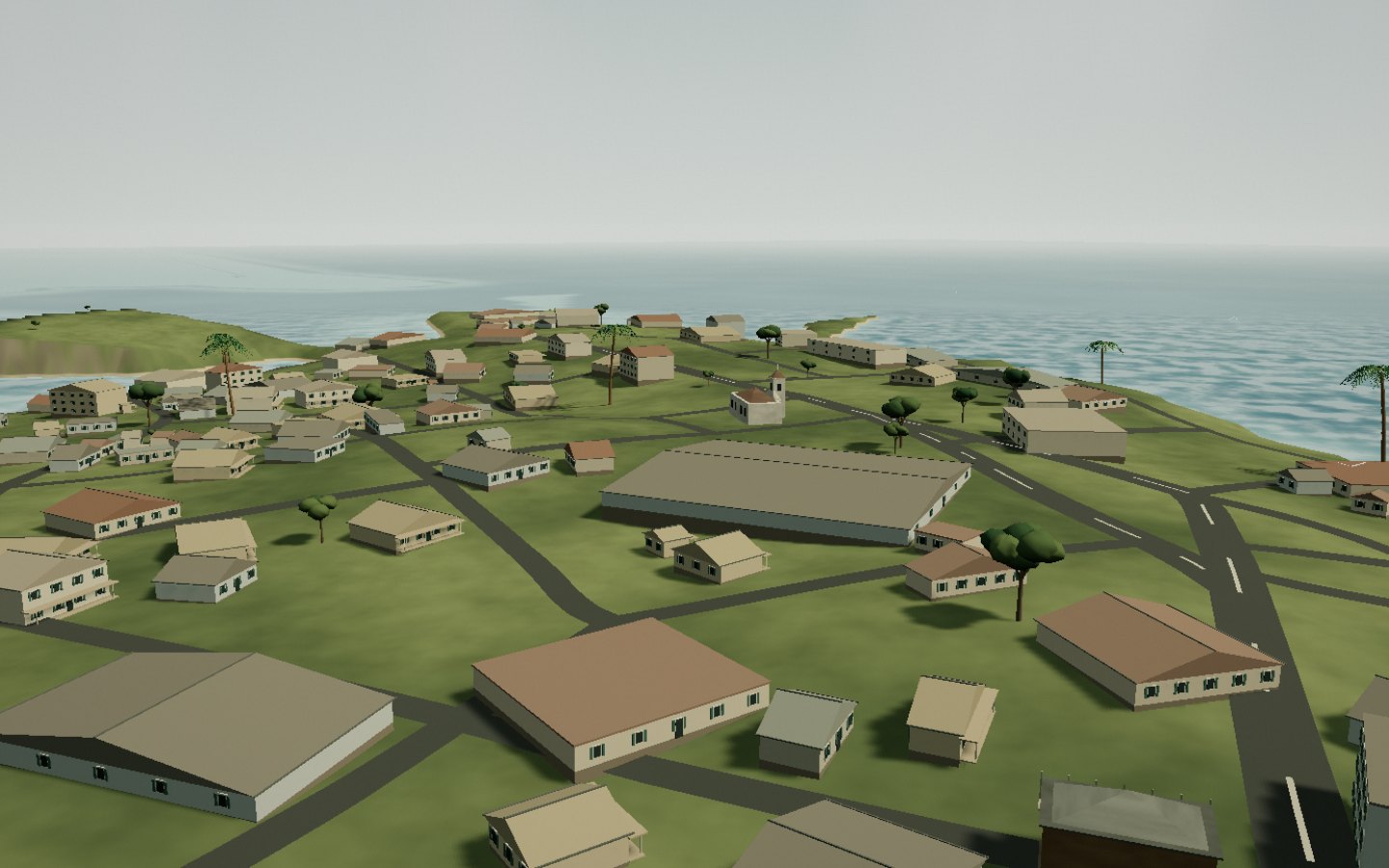
Hell-Ville sits on a laterite spur overlooking the sea. Two storeys, a veranda, a row of shutters: the Creole house has repeated the same design since 1841, when the French navy was looking for a harbour facing Mauritius. Along rue Galliéni, the former Cours de Hell lines up its facades; the Saints-Pierre-et-Paul church closes the view with its bell tower. On the Camp-Vert parade ground, four naval cannons still point out to sea. Locals keep calling it Hell-Ville; the state writes Andoany.
The town is named after Admiral de Hell, governor of Réunion from 1838 to 1841.
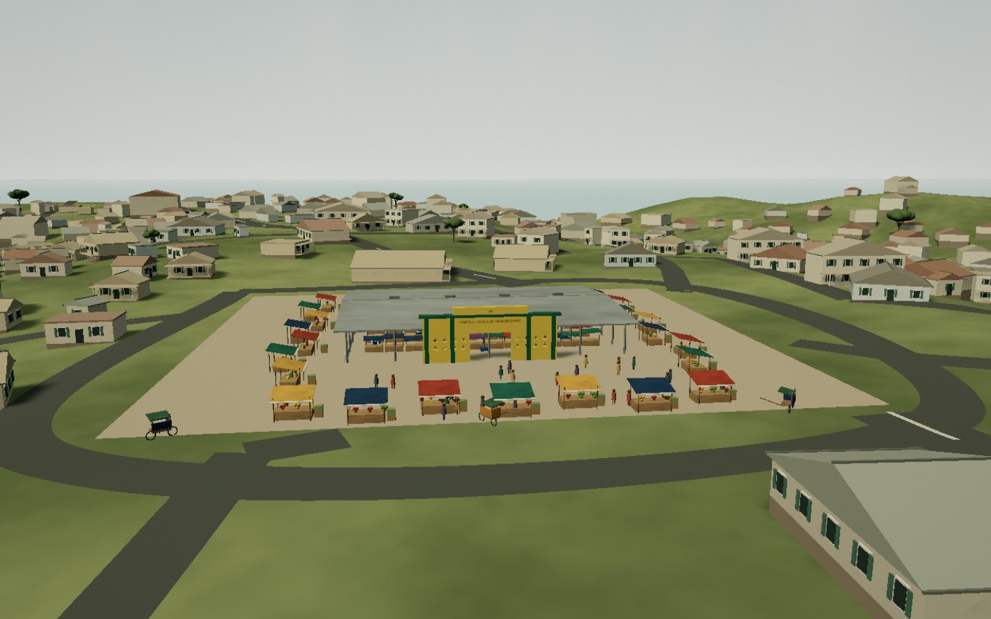
The market stands on a concrete platform at the foot of the hill. Under the great hall, two rows of counters face each other: fish glistening on ice, vegetables piled beside chillies and rice. Here they sell Sava vanilla, ylang-ylang essential oil and the island’s arranged rum. Seventy metres away, the square minaret of the mosque recalls that Comorians and Indians made Hell-Ville a crossroads of the Indian Ocean. From this square, every morning, bush taxis leave for the whole island.
Come early: at opening time the port arrivals and the light are at their best.
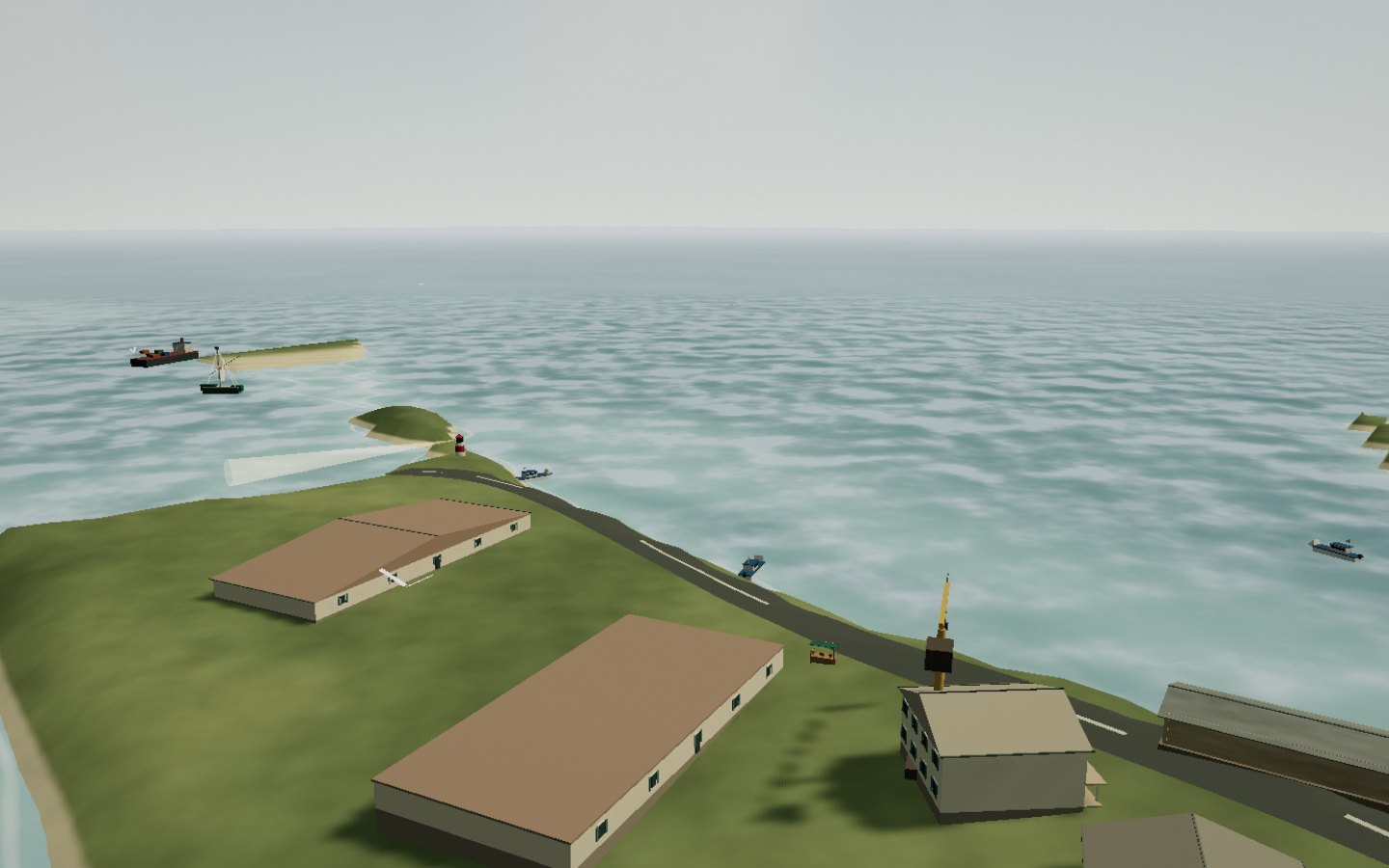
A clean cut in the coastline: two hundred metres of quay between the gate and the lighthouse mole. From half past five, the Ankify launches land their passengers, then leave again once full. Along the quay, outrigger pirogues unload fish while trading schooners wait for the tide. The small white lighthouse keeps watch at the eastern point. Here you can read the vocabulary of Sakalava pirogues, inherited from Comorian sailors: taroma, drama, the Arab sail.
Boats leave when full; the crossing is calmest in the morning.
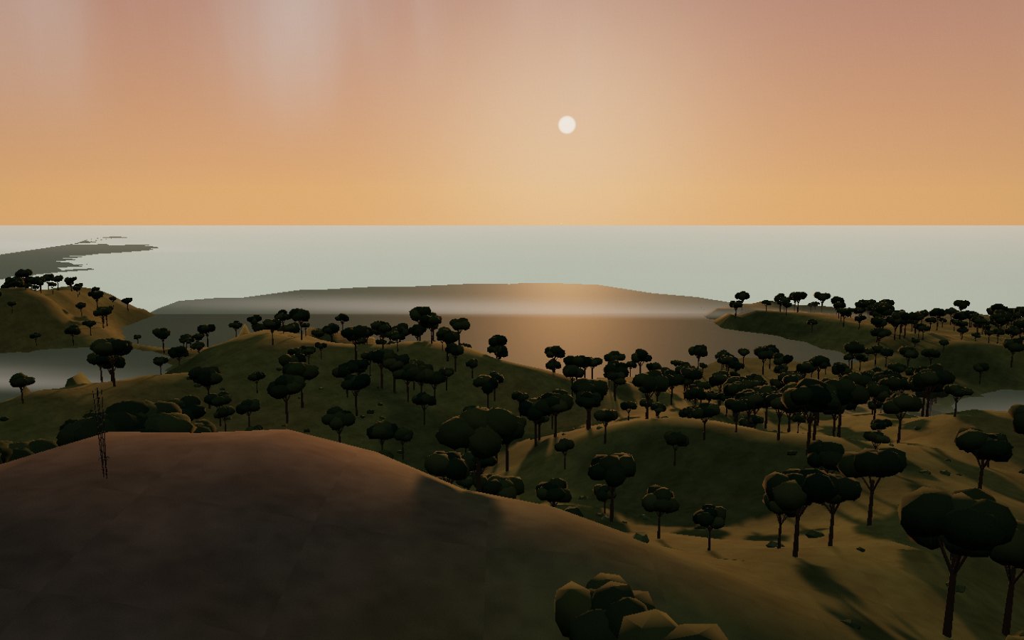
At 329 metres, the panoramic terrace of Mount Passot overlooks the hills of Nosy Be and the Mozambique Channel. Eight small crater lakes, considered sacred, surround this former volcano. At sunset, wooded shorelines frame the lake reflections and the sea beyond. Walking circuits explore the plantations and villages around the viewpoint; ask about local customs before approaching the lakes.
Drive up around half past four: the low light reveals the lakes one by one.
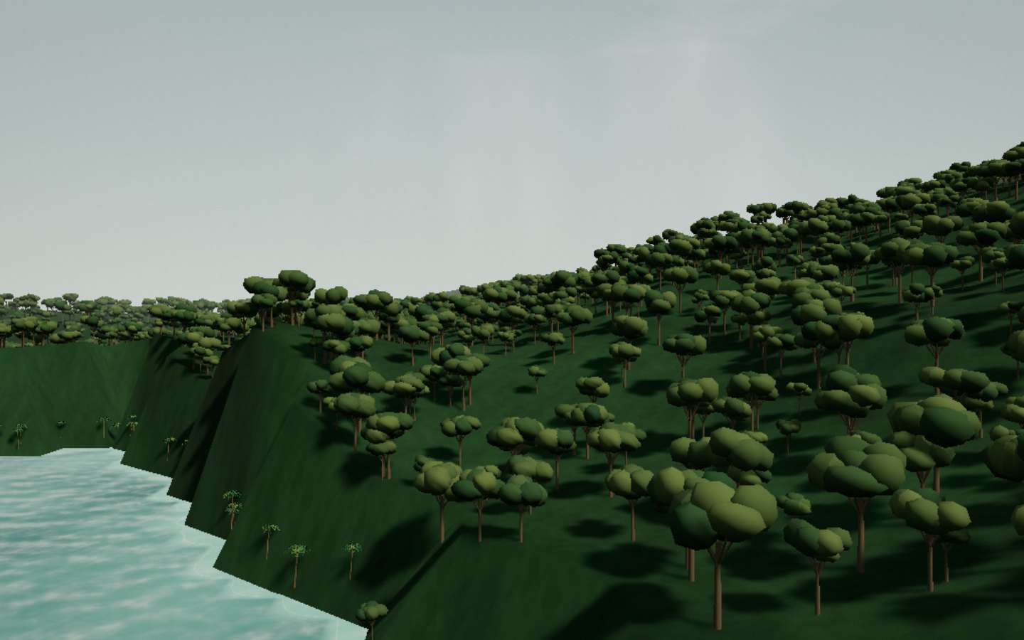
Across the bay, the road stops and the pirogue takes over. You paddle through the mangroves to Ampasipohy, then there is nothing but forest: seven hundred and forty hectares, the last primary forest on Nosy Be. Black lemurs — Eulemur macaco — move there in female-led troops, unafraid of visitors. More discreet, the grey-backed sportive lemur and the Madagascar boa slip through the leaves; on the branches, the Nosy Be panther chameleon stays still for an hour. A guide, always: here you do not follow a trail, you listen to someone who knows.
The reserve is visited with a local guide; the pirogue leaves from Ambatozavavy, at the head of the bay.
Access
Pirogue from Ambatozavavy, or the track to Ampasipohy
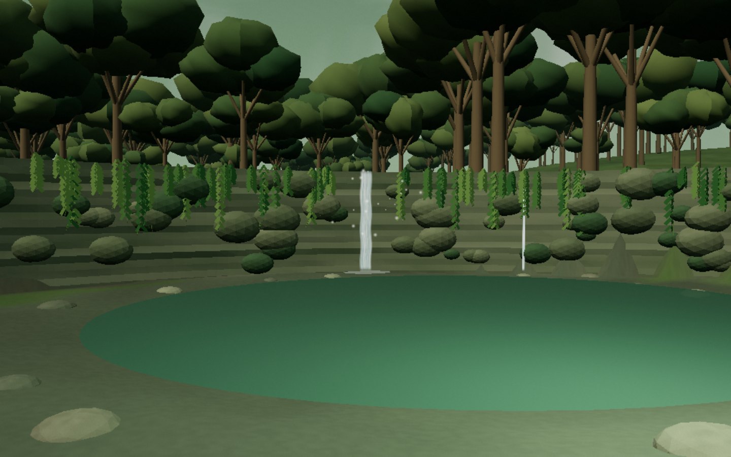
A short path descends through the forest to the pool. A slender stream crosses the rock lip and drops down a wall covered in moss, roots and ferns. The rocks form a hollow around the dark water; the vegetation frames the view and softens the light. The waterfall is a sacred place, where offerings and local customs are part of the setting. Ask about local practices before approaching.
Do not touch the offerings at the foot of the tree; the track is slippery in the rainy season.
The west road rears up, runs along the ylang-ylang groves, then flattens out at the end of the world. Andilana occupies the north-west cape: two kilometres of coral sand so white that the four o’clock sun makes it almost cruel. To the west, the bay opens onto the sunset; to the east, the same sand looks at nothing and the silence is total. In between, huge fishing pirogues haul up on the sand and head back offshore. On Sundays the whole island gathers here with coolers and music. This is where Nosy Be empties out, when you want nothing more.
The beach is still a working shore: keep the pirogue hauling lanes clear.
It is not a harbour. It is a beach pretending to be one, where boats line up on the sand and you buy your excursion at the foot of a mast. Ambatoloaka: the name means “where there is a pierced stone” — a fishing village turned, in thirty years, into the departure quay for the whole archipelago. Komba, Tanikely, Iranja: everything is decided here at dawn. At four o’clock the bay turns copper and the pirogues file home; next door, Madirokely shifts from parasols to dance floor on Friday nights.
Book your excursion on the beach the day before; dive clubs board at sunrise.
Twenty minutes by launch from Hell-Ville, and the sea changes colour. Nosy Komba is an almost perfectly round piece of volcano, once called Ambariovato — the island girt with rocks — because its reefs break the swell. To the north, the village of Ampangorina hangs its embroideries on lines between carving workshops and pirogues. Black lemurs live free here, led by females, confident enough to come and sniff your hands. Antaninaomby peak climbs to 622 metres above a last patch of primary forest. Every July, the Maki Run races up the mountain.
Do not feed the lemurs: bread harms them. The embroideries sold here are handmade.
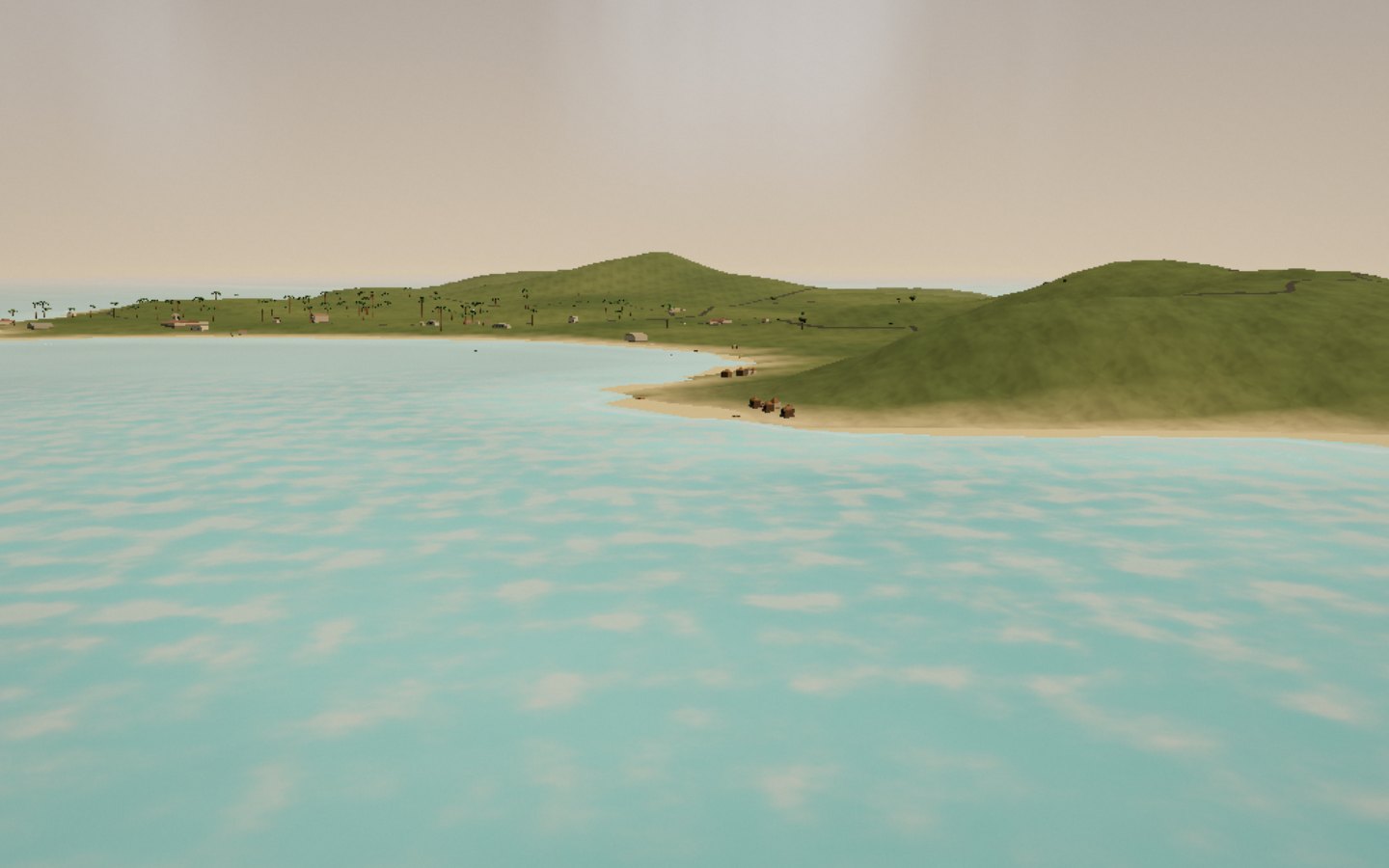
Two islands, not one. Nosy Iranja Be to the north — two hundred hectares, a village of fishermen under casuarinas; Iranja Kely to the south — thirteen hectares only. Between them, two kilometres of sand of absurd purity, barely a hundred metres wide, that exist only at low tide. You cross it on foot, fast, because the sea returns. Then the lagoon: turquoise over the sand, celadon further out. This is a nesting beach for hawksbill turtles. And at the end of the larger island, planted on a granite promontory, a cast-iron lighthouse from 1909, seventeen metres tall, its lamp at seventy-five.
The bar exists only at low tide: the return hour is decided before leaving.